Free UK Mainland Delivery on Orders Over £115.00. Prices Include UK VAT.
We have been in business for 35+ years and have gained a vast amount of knowledge relating to sales, installation and maintenance of marine electronics. We believe our prices to be competitive. If you find this not to be the case, feel free to contact us and discuss it. Please bare in mind WE ARE NOT AN INTERNET ONLY COMPANY.
Featured Products


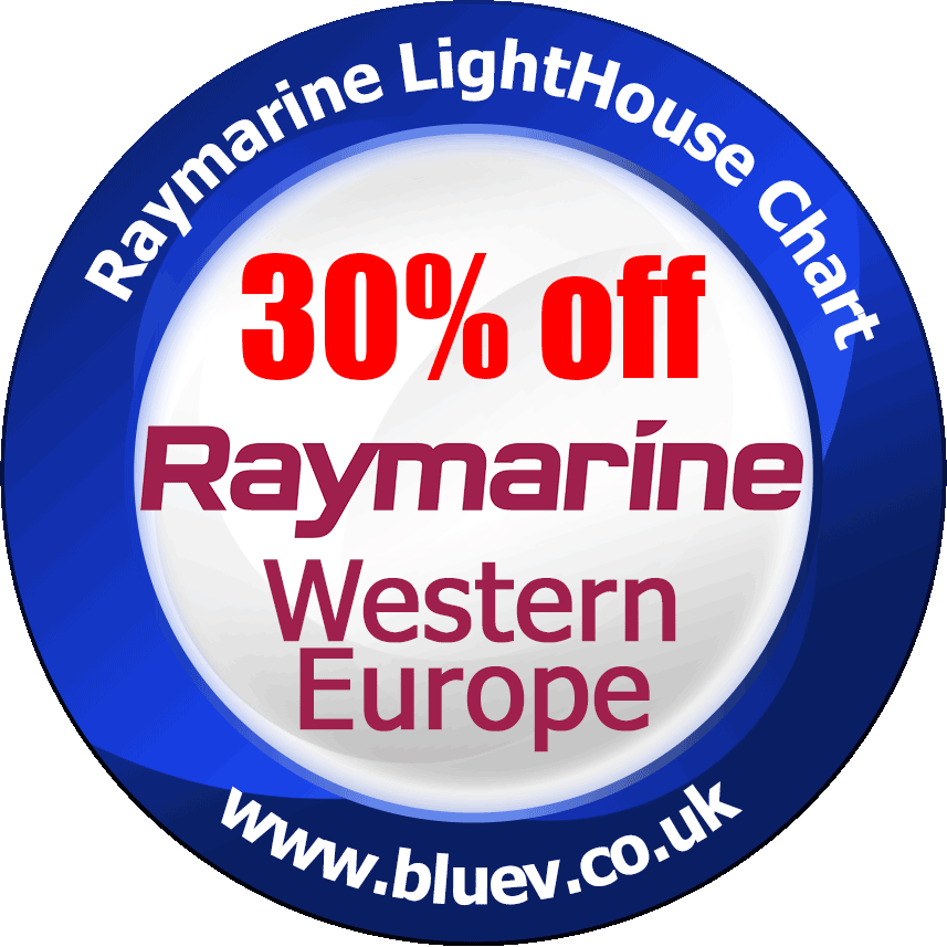


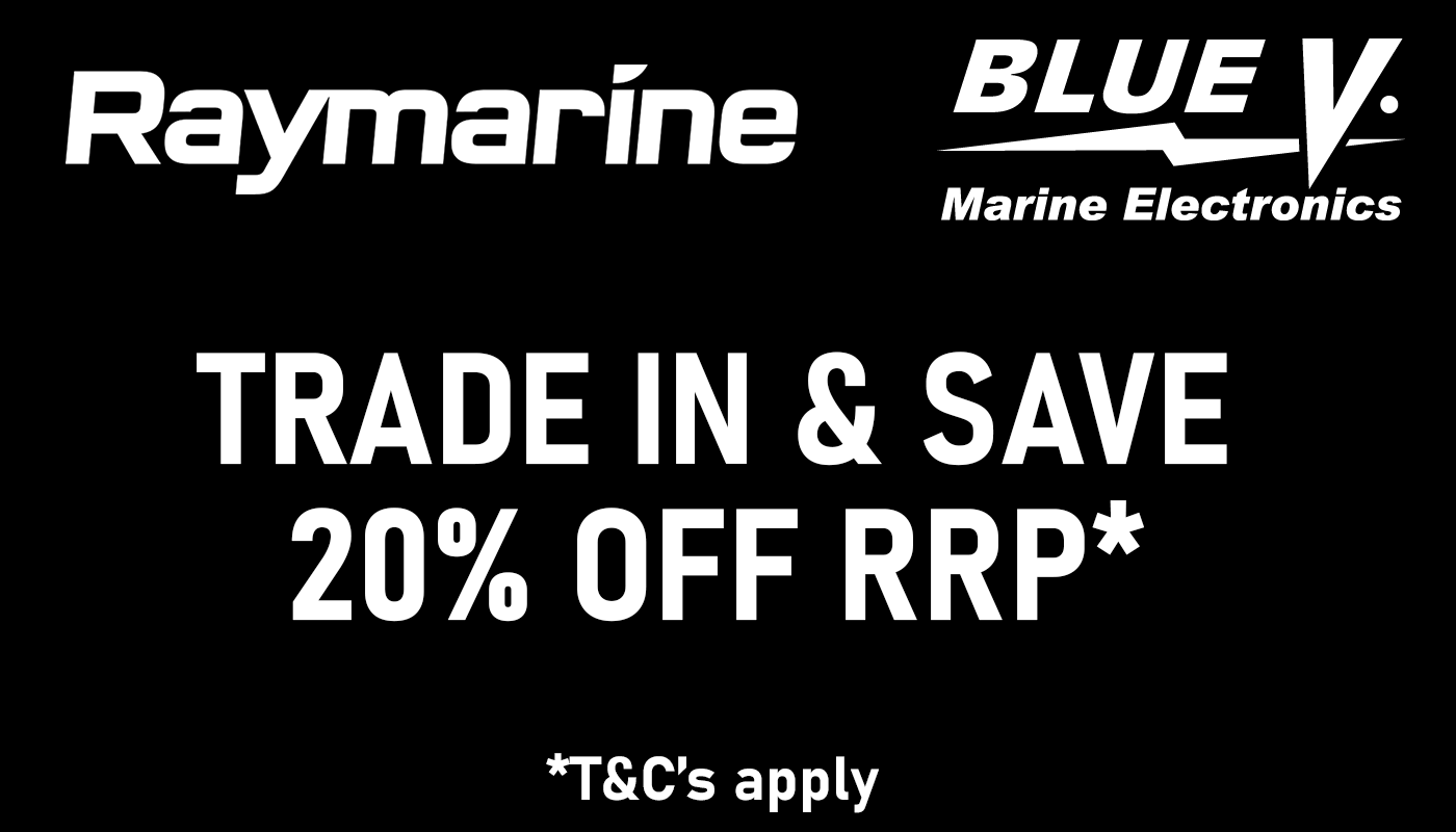
Special Offers